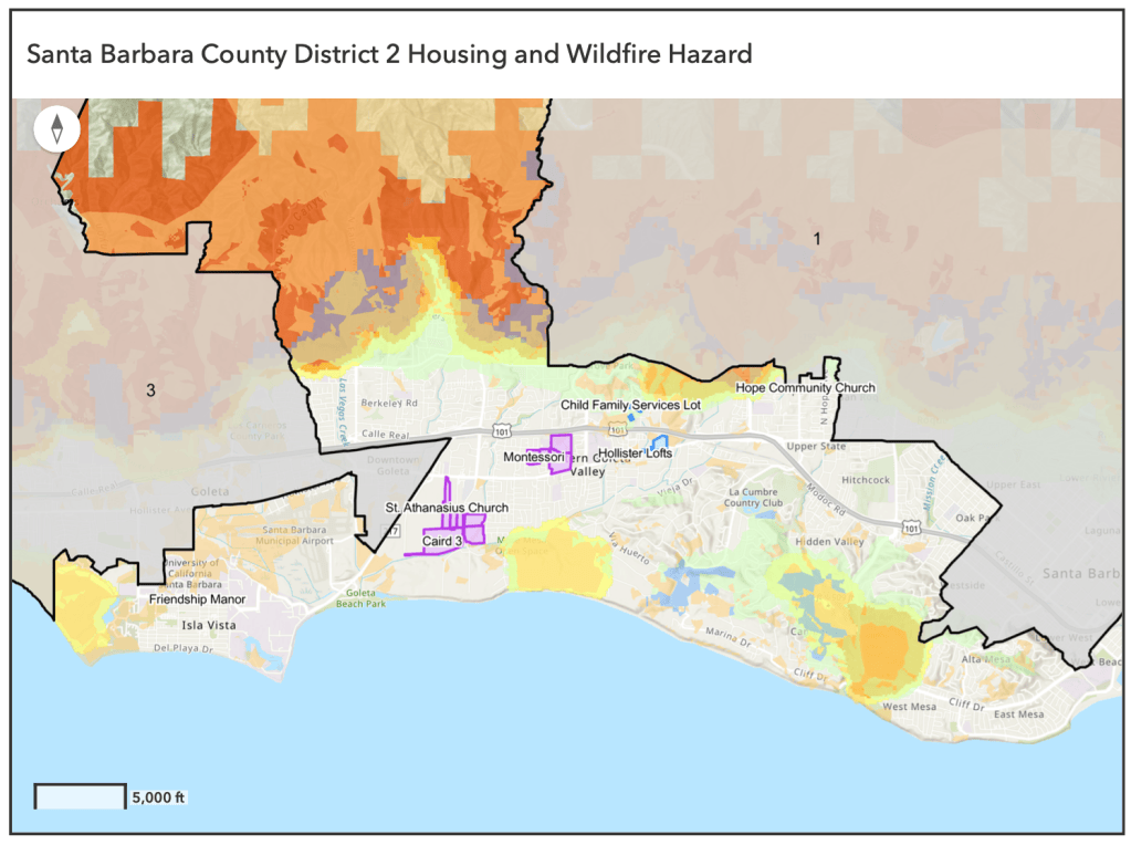
As part of a research internship with the Stanford Bill Lane Center for the American West, I investigated the potential fire hazard associated with new zoning for housing development. I collaborated with decision makers in Marin County, CA and Santa Barbara County, CA
I used ESRI online to create interactive web maps for both areas. This work involved regular meetings with decision makers and rounds of iteration to create final products.
*Webmaps below were last updated in Sept 2025, some data layers may no longer display correctly
Santa Barbara Webmap: https://stanford.maps.arcgis.com/apps/instant/sidebar/index.html?appid=8828387152f644ba9467ecc7454484e0
Marin County Webmap : https://stanford.maps.arcgis.com/apps/instant/sidebar/index.html?appid=f84678e34f9245a3807ffd2c4af5f3d9
Each map is accompanied by a report describing the work done and the purpose of the tools, meant to inform further policy decisions regarding housing development
Santa Barbara Report:
Marin County Report:

